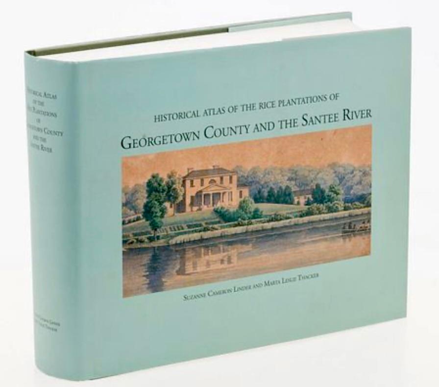
The Historical Atlas of the Rice Plantations of Georgetown County and the Santee River is the definitive cartographic and historical resource for South Carolina's lowcountry. Published by the South Carolina Department of Archives and History, it meticulously documents the region's antebellum plantation landscape.
Core Features of the Atlas:
- Detailed Mapping: Features highly accurate historical maps that outline the exact boundaries of hundreds of individual rice plantations along the Waccamaw, Pee Dee, Black, and Santee Rivers.
- Plantation Ownership: Traces the chains of ownership for each property, including vital genealogical and historical data on the rice planters who shaped the region's economy.
- Enslaved Populations: Provides in-depth context regarding the enslaved labor force that built, maintained, and operated these vast, historically significant agricultural operations.
Availability and Access: It is an out-of-print, highly collectible, and comprehensive 800+ page reference book. Copies are rare and command premium prices.
|


No comments:
Post a Comment